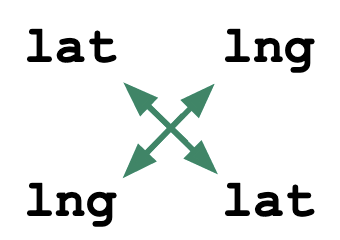
Flip coords
Have lat,lng but need lng,lat? Or vice versa?
|
||||||
|---|---|---|---|---|---|---|
| valid coordinates? | ||||||
| map | ||||||
| A, B | ||||||
| A,B | ||||||
| A/B | ||||||
| [A, B] | ||||||
| URI encoding | ||||||
| DMS | ||||||
| lat=A lng=B | ||||||
| lat=A lon=B | ||||||
| lat=A&lng=B | ||||||
| lat=A&lon=B | ||||||
| latitude: A, longitude: B | ||||||
| { lat: A, lng: B } | ||||||
| { "lat": A, "lng": B } | ||||||
| { lat: A, lon: B } | ||||||
| { "lat": A, "lon": B } | ||||||
FAQ
What's the difference between longitude and latitude?
Which format is correct?
It depends. See Tom MacWright's excellent
lon lat lat lon
overview, in which he writes:
"It's up to the developer to be aware of this issue and read
the requisite documentation, and
flip coordinates if necessary..."
Which abbreviation is correct "lng", "lon"?
Excellent. You are no longer troubling yourself with the superficial "latitude, longitude" vs "longitude, latitude" debate, and have instead ascended to a more meaningful discussion.
Sadly though, here too the only real answer is ... it depends. Different tools expect different things.
Who built this?
The team at OpenCage. We
also run a
geocoding API
if you want to turn coordinates into useful
location information, a process known as reverse geocoding.
Try it out.
How can I find the distance between two coordinate points?
Use our
distance calculator.
It would be great if this tool could ...
Sure, send us your feedback.
Further reading
© 2026 OpenCage GmbH
